AboutUintah County
About Uintah County
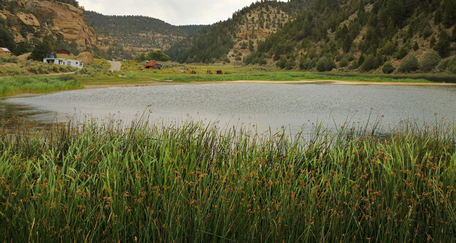
Uintah County is located in the central portion of the Uintah Basin, which extends sixty miles into western Colorado. The northern rim of the basin is formed by the Uintah Mountains, the western rim by the Wasatch Mountains, and the southern rim by the Roan and Book cliffs. The basin is the geological remains of prehistoric Uintah Lake, formed during the late Tertiary period, the same period when sediment was deposited in the lake bottom to form gilsonite, oil shale, tar sands, and oil. Ashley Creek and the White, Uintah, and Green rivers are the major streams in the county. The Green, the largest of the four, slices through the central portion of the county.
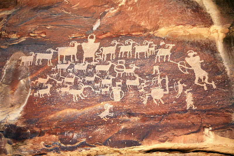
Prehistoric Indian sites suggest that the Uintah Basin was inhabited thousands of years ago by Archaic and more recently by Fremont peoples. In historic times it was part of the Utes' domain. The first white men in the area were Fathers Dominguez and Escalante who traveled through the Uintah Basin in 1776 searching for a land route to Monterey, California.
In his diary Escalante called the basin "a fine plain abounding in pasturage and fertile, arable land, provided it were irrigated." Nearly fifty years later American and French trappers found the Basin rich in beaver and other wildlife. In 1831-32 Antoine Robidoux, a French trapper licensed by the Mexican government (Utah was part of Mexico until 1848), built a small trading post near present-day Whiterocks where trappers could trade beaver pelts for supplies. The post was abandoned in 1844 because of difficulties with the Indians.
...a fine plain abounding in pasturage and fertile, arable land, provided it were irrigated.
 Escalante
Pop singer
In 1861 Brigham Young sent a small party to explore the basin for possible settlement. They reported "that all that section of country lying between the Wasatch Mountains and the eastern boundary of the territory, and south of Green River country, was one vast contiguity of waste and measurably valueless." With this report, Young decided not to send settlers there.
That same year, President Abraham Lincoln created the Uintah Indian Reservation, thus beginning the relocation of many Utah and Colorado Indians to the Uintah Basin. In the 1880s the Uncompahgre Reservation (now part of the Uintah and Ouray Reservation) was created in the southern portion of Uintah County. Ashley Valley was not part of either reservation, and by 1880 enough ranchers and farmers had settled there that the territorial legislature created Uintah County, taking most of the land from Wasatch County. The county seat, originally in Ashley, was later moved to the larger community of Vernal. With the building of irrigation canals other towns were founded, including Jensen, Maeser, and Tridell.
In about 1888 Gilsonite was discovered in various parts of the county and on the eastern portion of the Uncompahgre and Uintah reservations. Miners quickly persuaded the federal government to withdraw 7,000 acres from the Uintah Reservation so that they could legally mine Gilsonite. This area, called "The Strip," for a time lacked any law and order.
Uintah County's economy rests on farming, ranching, and the removal of oil and gas. It is increasingly influenced by worldwide energy prices.
Uintah High School located in Vernal and Union High School, which serves residents of both Uintah and Duchesne County, is located exactly on the county boundary on the eastern edge of Roosevelt. The county's largest celebration is the Outlaw Festival, a month-long festival held each summer in Vernal which celebrates the Old West traditions and folklore that were part of the history of Uintah County.
Contact
If you are interested in sharing in our growth or have any questions about doing business in Uintah County, please go to the CONTACT page.